MapQuest Introduces Surveillance Tracking Feature
MapQuest users can now toggle a new surveillance layer to visualize the locations of license plate readers and public cameras in their immediate vicinity. By activating the feature within map settings, drivers see eyeball icons marking areas under observation, effectively crowdsourcing the visibility of urban monitoring infrastructure.
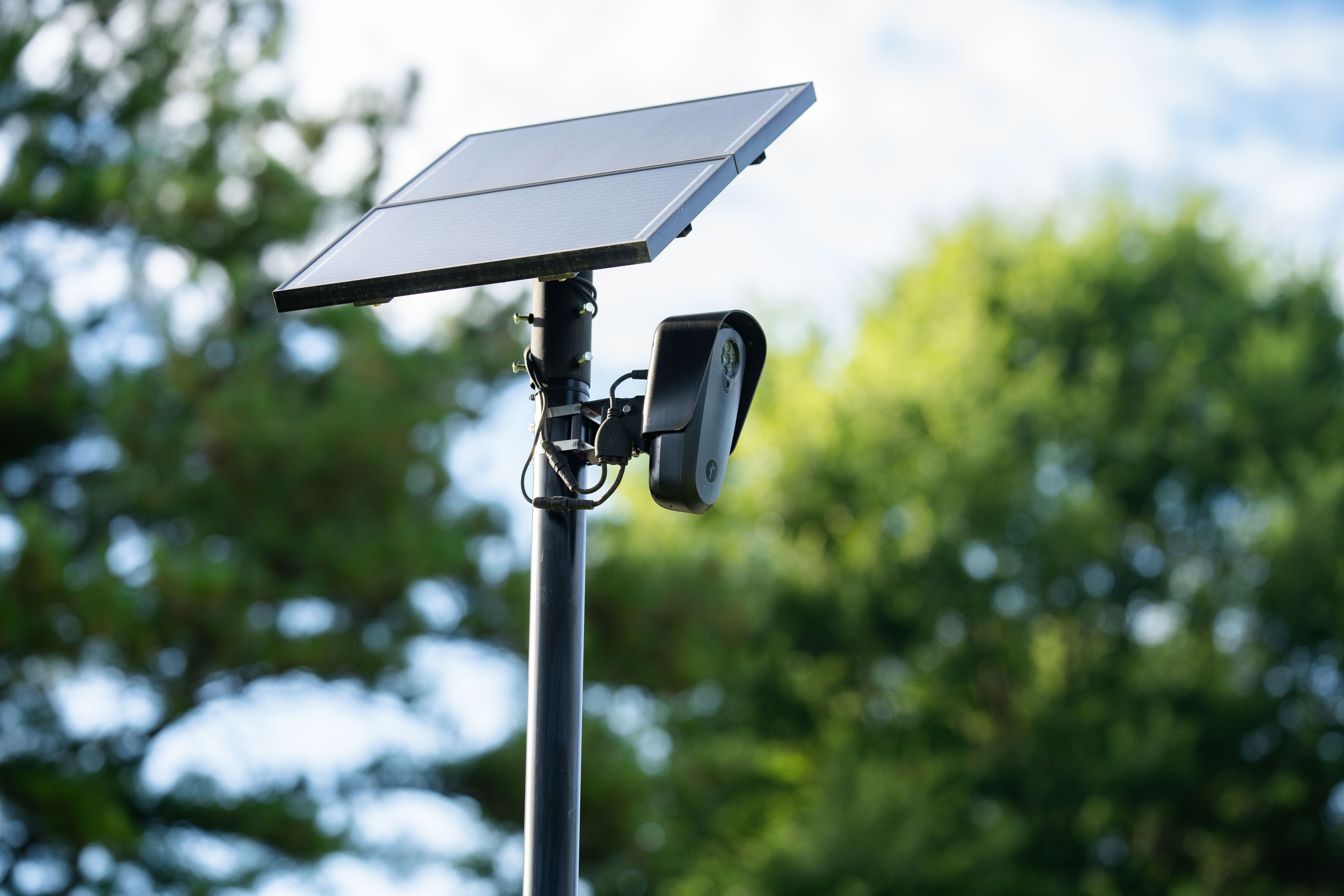
The update mirrors the functionality of the DeFlock project, which previously sought to map automated license plate readers across various regions. By integrating this data directly into a mainstream navigation tool, the platform provides a clearer picture of where municipal and private surveillance arrays are concentrated. This shift highlights a growing demand for transparency regarding the extent of digital monitoring on public roadways, moving the conversation from niche mapping initiatives to everyday navigation software.
Comments (0)
No comments yet. Be the first!